Note
Click here to download the full example code
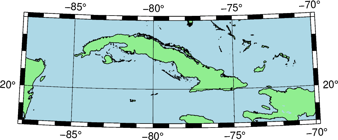
Equidistant conic
Dlon0/lat0/lat1/lat2/width: Give projection center lon0/lat0, two standard
parallels lat1/lat2, and the map width.
Out:
<IPython.core.display.Image object>
import pygmt

fig = pygmt.Figure()
fig.coast(
    shorelines="1/0.5p",
    region=[-88, -70, 18, 24],
    projection="D-79/21/19/23/12c",
    land="lightgreen",
    water="lightblue",
    frame="afg",
)

fig.show()
Total running time of the script: ( 0 minutes 0.521 seconds)